The brief
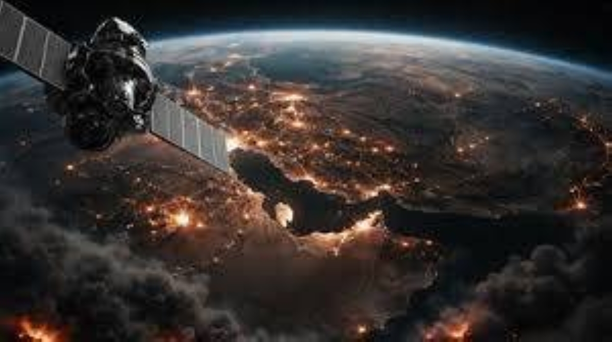
Planet Labs, a US satellite imagery company, has announced it will cease publishing high-resolution aerial images of the Middle East conflict area following a request from the Trump administration.
Context
The decision comes amid ongoing tensions in the region and reflects the administration's stance on information dissemination during wartime.S1S2
Key points
- Planet Labs will stop publishing high-resolution images of the Middle East.S1
- The halt in imagery is in response to a request from the Trump administration.S2
- The decision highlights the intersection of technology and government policy in conflict zones.S1
- The move may affect media coverage and public access to information about the conflict.S2
- Planet Labs is known for its satellite imagery capabilities.S1
- The request for a blackout indicates a desire for control over information during military operations.S2
- This action raises questions about transparency in wartime reporting.S1
- The implications of this decision could extend to other satellite imagery firms.S2
Why it matters
- Controlling satellite imagery can influence public perception and media narratives about the conflict.S1
- The decision underscores the role of government in regulating information during conflicts.S2
What to watch
- Monitor reactions from media organizations regarding the impact of this blackout.S1
- Watch for potential responses from other satellite imagery companies.S2
- Observe any changes in the conflict's coverage as a result of this decision.S1





/file/attachments/2998/14341149_774243.jpg)